Topographic Surveys

Topographic Surveys

Topographic Surveys

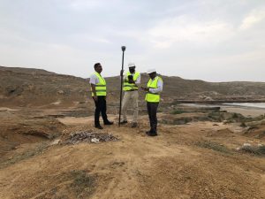
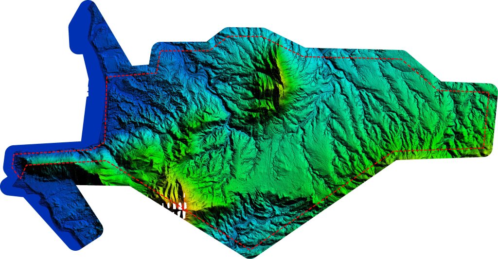
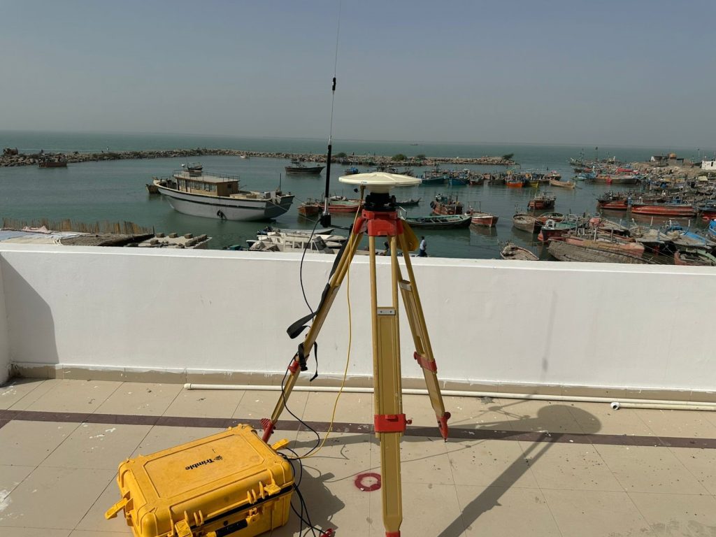
Our topographic survey services are performed in compliance with international surveying standards, utilizing GNSS, total stations, and UAV-based mapping technologies. We provide accurate terrain models, contours, and geospatial data essential for infrastructure planning, coastal development, and integration with hydrographic and engineering design datasets.

Key Services
  • Aerial Drone Survey
    Using drones to capture aerial imagery and topographic data for mapping large areas, providing a cost-effective and efficient surveying method.
  • RTK GNSS Profiles
    Utilizing Real-Time Kinematic (RTK) GNSS systems for high-precision

Ready To Schedule An Appointment?

Contact us today to book your next service.
Scroll to Top